Locate Where → See How
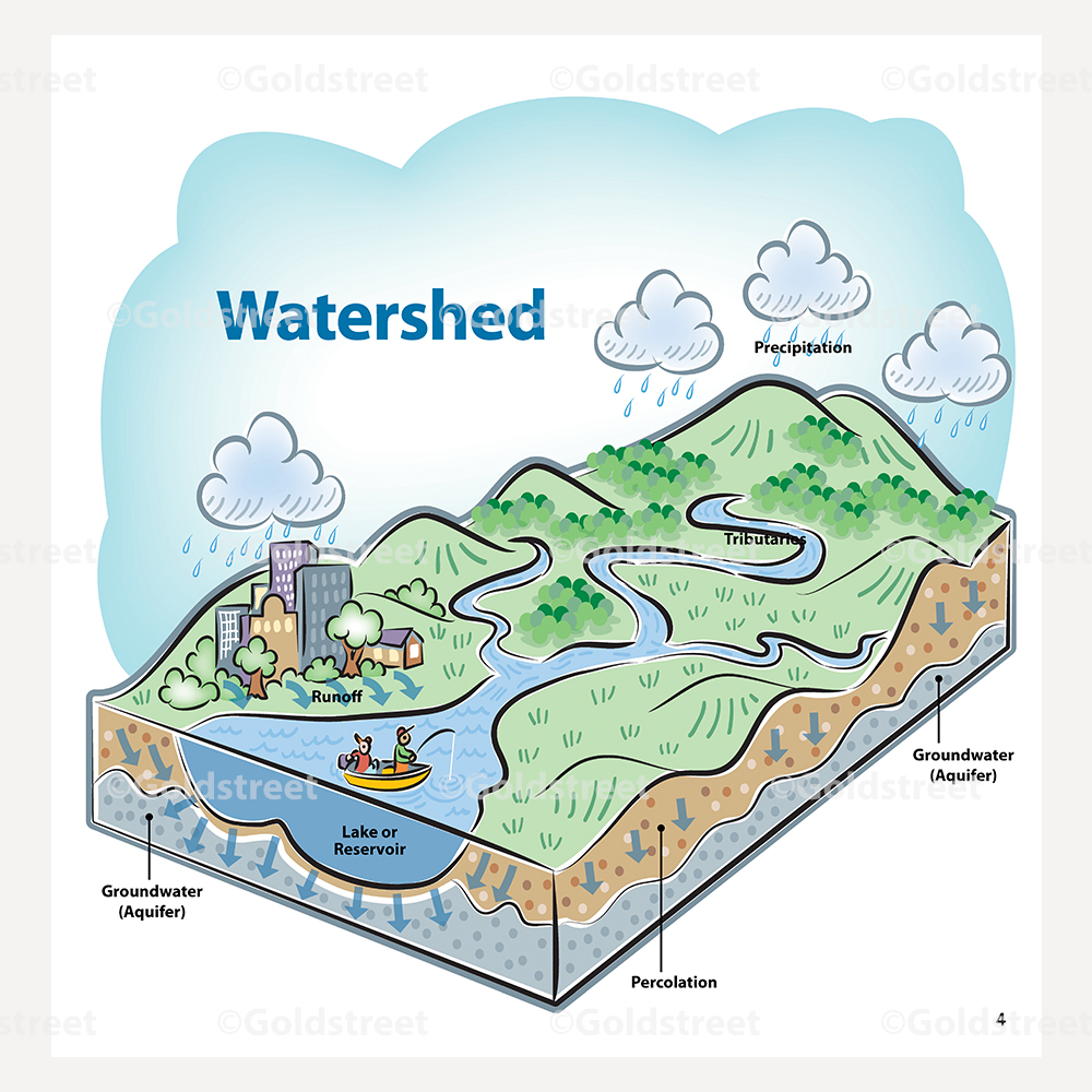
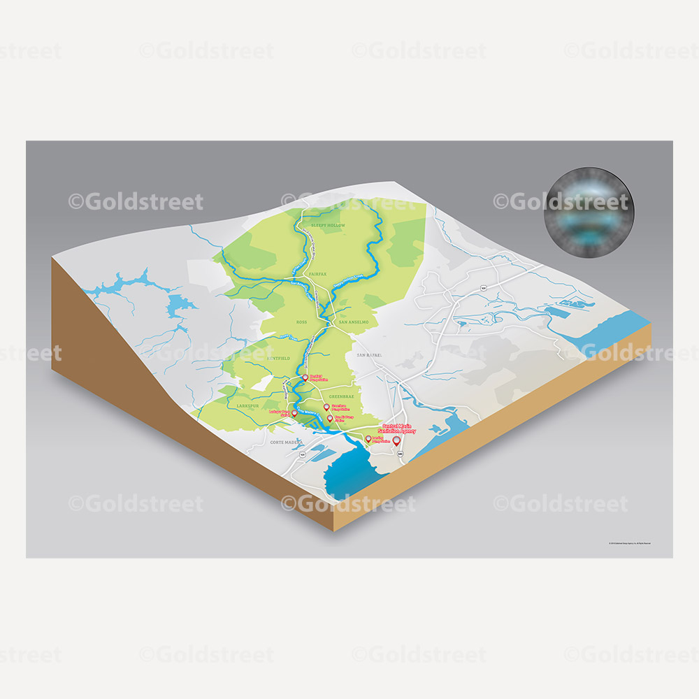
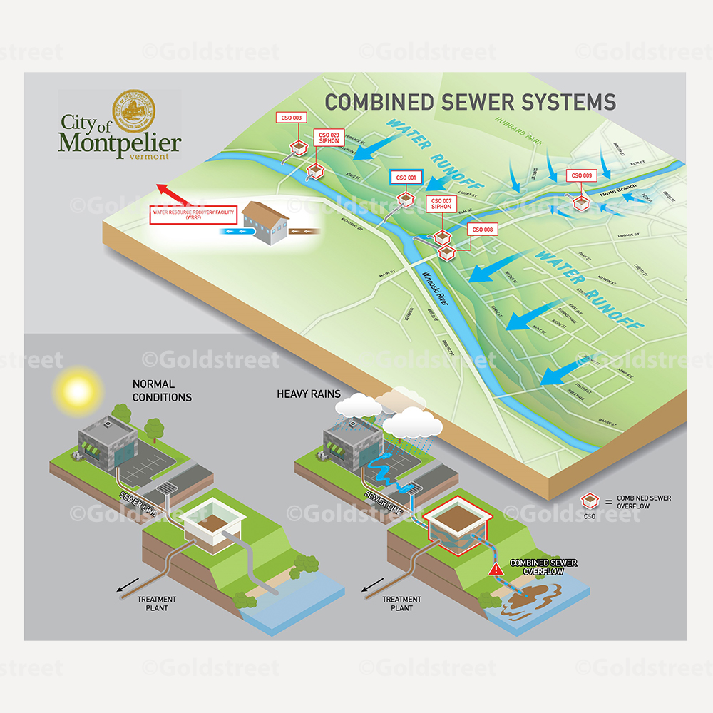
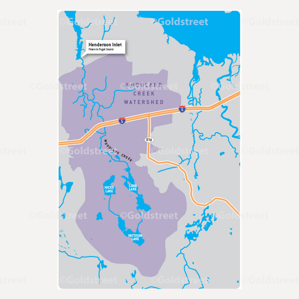
We are proud to offer map creation. From highly specific technical geographic map creations, to creative map illustrations, we do it all. Our map designing projects have ranged from cartoon illustrations of watersheds to in-depth grid system maps. With complete project customization, we are able to craft a map specific to your needs.
Our team specializes in creating professionally designed maps for local government, public works, and municipalities, but can assist with any illustrated map project. Contact us to learn how we can help!

Consult. Design. Deliver
1
Project Scoping
Determine project goals, deliverables, and budget.
2
Kickoff Call
Introduce the team and have a shared understanding on scope and project timeline.
3
Content Drafts
Copy is client-provided or drafted by our copywriters.
4
Creative Reveal
Our team presents the design for your review and feedback.
5
Wrap Up
Final, approved version is delivered on time and within budget.
6
Analyze Results
We follow up to make sure the goals of the outreach performed as expected.